
Kilvani (Chiloane) (Quiloane ; Chiluane) Xiluane; Kiluane
------------------------------------------------
Ibn Majid (1470) is the only author to mention this place. No archaeological research has happened on the island yet.
Taken from: Africa Pilot …. By United States. Hydrographic Office 1916
Ilha Chiluan (Chiloane), about 6 miles in length in a northwest and opposite direction, and 3 miles in greatest width, lies off and partly within, the mouth of the Rio Ingomaimo; it is low, in many places only a mangrove swamp, intersected by creeks navigable by boats at high water. The principal village and residence of the commandant is on the southern side, where there is a fort and a flagstaff: the population of the island was estimated at about 2.000 in 1900, of which number 11 were Europeans.
Early Portuguese sources record Kilwani as a Swahili settlement ten leagues south of Sofala. (In Regimento de Cide Barbudo, 1505 Septembro, DPMAC. 1:275.)
Chiloane was known to Arab navigators and was shown on a Turkish admiral’s maps in 1554, two degrees of latitude south of Sofala.
Taken from: The Book of Duarte Barbosa (1518)
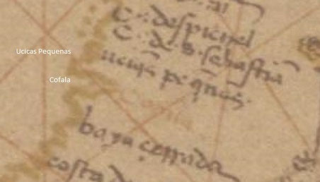
THE LESSER HUCICAS (Ucicas Pequenas) IN THE RIVERS. (= Chiloane island)
Leaving the great Hucicas and proceeding to the side of the bay where stands Cofala, (a fortress which the King of Portugal possesses here, near to which much gold is found), at seventeen or eighteen leagues there from are certain rivers, which form islands in their midst. These they call the Lesser Hucicas (Ucicas Pequenas), wherein are some settlements of Moors who trade with the heathen of the mainland: their food is rice, millet and flesh, and they bring it to Cofala in small boats.