(scribal notes in this book-also added in the official translation of Ibn hawqal’s work.)
The author of the book states that nobody knows the sources of the Nile and that it comes out of the deserts situated
behind the lands of the Zandj. I saw however in the book Djographia (1) that the Nile starts in two circular lakes, towards
which five rivers each flow that come from the Djabal al Qamar. From each of these two lakes four rivers leave towards
a circular lake situated in the first clime, of which the diameter is two degrees and of which the centre is at 58 deg. Long.
and two deg lat. in the first clime Then from that lake leaves a river that is the Nile of Misr (2)(3)……
But the maps added are different.
(1) the book of Ptolemy is meant.
(2) Misr = Egypt.
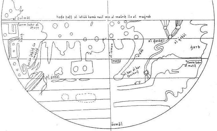
(3) Ahmad, S. Maqbul: Al-Biruni’s contribution to Arab Geography, has the following to say about these maps: Differing from the classical description are the world maps and by an anonymous author of an abridgment of Ibn Hauqal’s work preserved in Istanbul. In these maps the sea along the East coast of Africa is shown entering the land westwards as far as the sources of the Nile, and the sea from the western side (Atlantic) likewise piercing the continent up to the sources. South Africa is thus nearly cut off from the terra incognita shown on the maps stretching latitudinally along the Equator. We do not know if this discord from Ibn Hauqal’s maps was due to al-Biruni’s influence or based on information gathered from navigators of the period. (Note that al-Biruni’s world maps do not stretch Africa to the east but keep it small.)
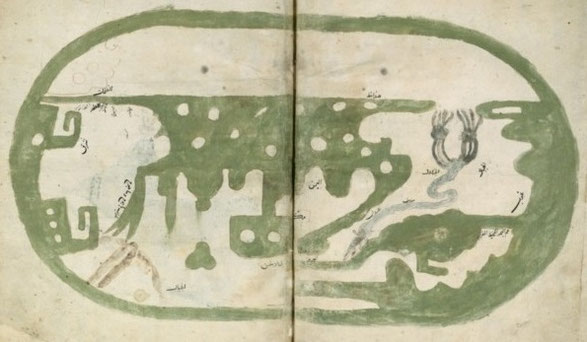
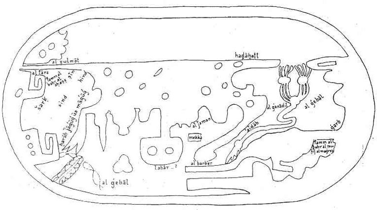
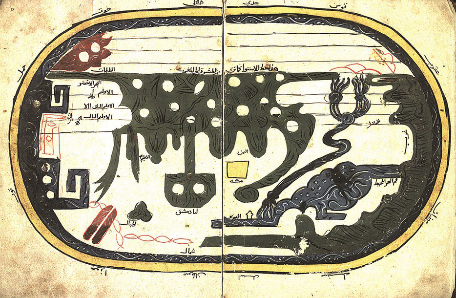

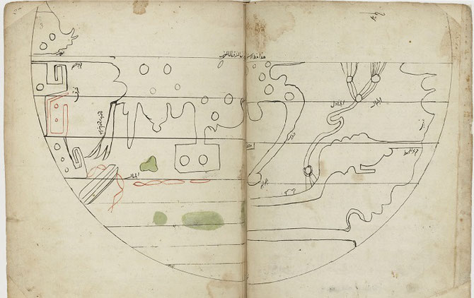
The one up: From Ashkal al Ard (Shapes of the Earth) Topkapi Saray Museum